Skip to content
-
-
- Listers and assessors play a key role in municipal parcel mapping in Vermont. They are often the stewards of a town’s Grand List and other source information relied upon to make and maintain maps, whether performed by the town itself or their contracted map vendor. These maps are increasingly digital and more powerfully still, in a GIS format that allows them to be related with other useful information, including the grand list itself.
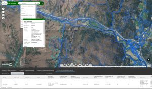
- The State of Vermont has standardized and combined individual town parcel maps and published them online in GIS format, joined with an annual grand list via the SPAN number and as submitted by the town to the Tax Department. These parcel data can be viewed in the Vermont Parcel Viewer, a web map that displays the best available grand list-joined digital parcel data throughout the state.

